Quick Facts
Client: The Mulloon Institute
Location: Mulloon Creek, Bungendore, NSW, Australia
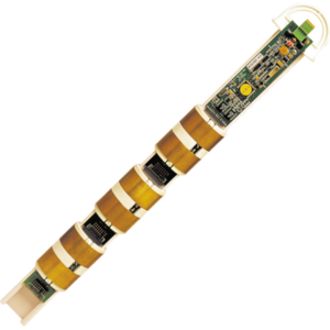
Product: climate stations, automated piezometers, stream gauging and water quality stations, soil moisture monitoring sites
Services: Develop a monitoring strategy and design and implementation of turnkey Integrated Monitoring System.
 The Mulloon Institute is an Australian not-for-profit dedicated to research, education, and advocacy in landscape restoration. Guided by the vision of connecting environment, farming and society through practical demonstration’, the organisation is working toward a bold national goal: regenerating 100 landscapes across 10 years. That translates to restoring 2.5 million hectares of land, returning 1.25 million ML of water to Australian floodplains, and repairing more than 1,000 km of degraded creeks and riverbanks.