


Powerful new features for Hydro GeoAnalyst
20 October 2022
Share


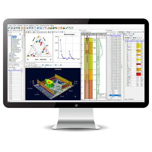 Hydro GeoAnalyst (HGA) 11.0 is here! Waterloo’s latest release of the popular software application incorporates client feedback resulting in multiple functionality improvements. The software, specifically designed for hydrogeologic, geochemical, or environmental projects requiring the management, analysis, and reporting of environmental data, includes the following new powerful features:
- Station groups and queries with location data can be added to the map and plotted using simple symbols
- Add data-rich callout features to some or all the features in a Location Data layer
- Create surfaces with colour floods and/or contours by interpolating data from a selected field in a location data layer. Supported methods include kriging, inverse distance, and natural neighbours.